Written by Terry D. Bennett, PLS LPF MRICS ENV SP LEED AP, Vice President, Survey-Geomatics at Sebago Technics
Survey-Geomatics professionals, regardless of where they practice, are known for their ability to solve complex problems while also developing new procedures and services in their fields of expertise. This Monday started with Global Surveyor’s Day, and as we close out National Surveyor’s Week, I look back on 30+ years of working alongside survey-geomatics professionals from all around the world and can see that our drivers are indeed universal.
Regardless of our backgrounds or the path that brought us into the profession, these common threads bind us together:
- Ethics and Professionalism
- Critical Thinking Skills
- Personal Management
- Communication
- Teamwork & Leadership
- Technology Use
- Lifelong Learning
While many books and business articles have been written on each of these topics, I would like to focus on the last two – technology and lifelong learning. Today survey-geomatics professionals have access to a dizzying array of technology to solve the complex problems our clients bring us. However, the foundational element that supports the development of new procedures and services based on any technology is something this profession never stops doing – learning. We are driven by knowledge and this desire for lifelong learning never stops regardless of how long we have been practicing. There is always something new on the horizon of our professional practice.

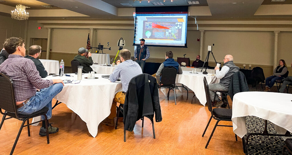
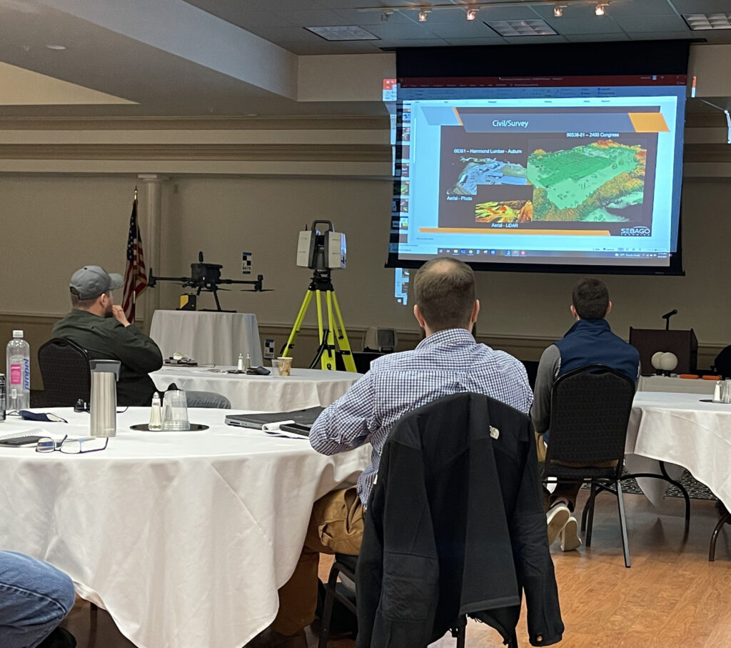
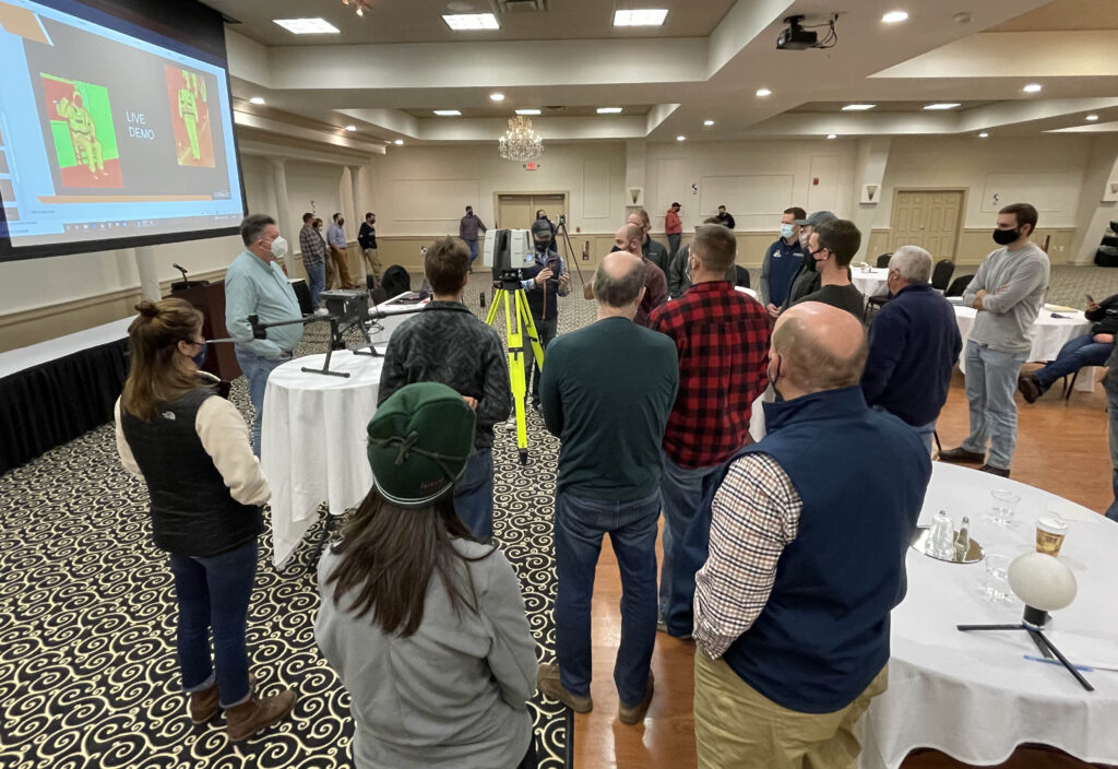
Recently we held an all-day training session for our survey-geomatics team. The goals: knowledge sharing, continuing our lifelong learning, and sense of team. Hosted by our Geomatics/Reality Capture Group, we focused on our capture and processing procedures for both High-Definition Laser Scanning (HDS), and our sUAS/drone services. While the technology itself is not new per se, the increased need for rapid, high precision data requires this type of capability. Whether for large scale, on-demand photogrammetry and topography – surveying of bridges, tunnels, and buildings, or ensuring what is built meets demanding specifications, these are now additional tools in our toolbox to support our clients. Through learning and training sessions like this our multiple generational survey-geomatics team can discover, share, improve, and carry it forward for many years to come.

As we look at the horizon of our professional practice, regardless of the tools we use, our focus is on capturing, analyzing, and interpreting the natural and built environment information. We take the real and make it digital for all our clients. We also take the digital and lay it back out onto the real world. As professionals we are also in service to the public and do our best as curators of that information to ensure accuracy and integrity for whatever use it may be applied too.

The knowledge of our profession never resides in one person. Together leveraging the drive to learn with an equal drive to share the knowledge we accumulate over our careers, like in this training session, gives us the ability to solve complex problems, while at the same time develop those new procedures and services.
As Abraham Lincoln once said: “The best way to predict the future is to create it.” Together at Sebago Technics we are working hard to create and shape that future for our Survey-Geomatics professionals.

