Shaping
It is a mystery to most of us how an artist can have a vision in their head then through their skill and creativity transform that vision to reality… a piece of art. It is really remarkable how we as humans see the world around us, have a vision or a dream of what could be, then start shaping things to turn that vision into a physical reality. Through the process of transferring their vision to reality, there is a constant back and forth, testing the vision against what is and what can be. Making changes and adjustments, subtle refinements and creative solutions throughout to match reality to vision. At the end of the process of shaping the vision, a beautiful reality is created.
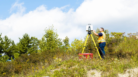
Though often viewed as a technical craft versus artistic, engineering is about creating realities born from visions. At the heart of civil engineering is the human need and desire to shape the world around us. We see the world and think, this could become a park, a safer road intersection, a restaurant, a school, a home. It is about creatively shaping the land through the application of engineering principles. It is about seeing the topography of the ground, the curves of a road, the trees and plants and structures and understanding how they interact with the vision. With this understanding, we can transform what is today into a finished place that we can use and experience for its intended purpose.
Unlike the artist, engineers, landscape architects, building architects, contractors and builders don’t start with a blank canvas. Rather they start with the land and its beautiful constraints. A parcel, its particular and often irregular shape, and its features (buildings, streams/water, plants and trees, hills and valleys, fences and stone walls, etc.). To obtain what is and to create the canvas we must start with the work of a quiet archivist of our world. A profession(al) that allows the visionaries and transformists to shape a new reality…
The Humble Surveyor
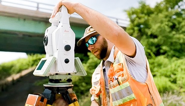
You’ve seen them set up beside the road with their tripod and high-viz vests, peering through their devices to a point in the distance. Measuring, cataloging, recording to create a picture of what is. They are the hands and eyes of the transformers to see, down to the 1/100th of an inch, what is today. They don’t tell us what we can do, what we can’t do or what we should do. They tell us what is there. They are the bridge between reality and vision.
Surveying is an ancient profession that has been around since people first had thoughts of building anything bigger than a hut. Thousands of years ago people did amazing things with string, straight boards, and shadows of the sun. Cities were laid out by the stars, great stones set upon the earth with remarkable precision, structures built to last for centuries.
Because the surveyor straddles the gap between theory and practice, between vision and reality, they are unique in the building process. They are just as at-home traipsing through fields and woods as they are working with AutoCAD in the office. And they have to be. They use their tools and knowledge to acquire measurements and information about the real world. They then translate that information into reliable data and pictures for designers to work from. They are the conduit between reality and vision. They set the threshold for creating a new reality.
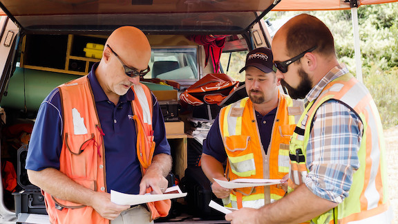
When we talk about shaping together at Sebago Technics, surveying, capturing reality is where we begin. Clients start with a vision for a property, a piece of land in a certain place with certain features and they communicate that vision to the designer. The surveyor then creates a detailed picture of that land, with all of its dimensions and features. It is this picture that the architects, landscape architects, engineers, site planners, permitting specialists, builders and contractors work from. It is the work of the surveyor that ties every other discipline together and lets them creatively, collectively, shape a new reality.
When the final plans are in place and the new design is complete, the physical work and transformation begin. The earthmovers level and grade with the surveyor informing them where they’re at, too deep, too high, too low, every step of the way. The surveyor, with critical precision, tells the concrete contractor where to lay the foundation and where to set the anchor bolts so that the rest of the building can rise as designed. Every trade, structural erectors, framers, HVAC contractors, electricians, plumbers, etc. all rely on the accuracy of the surveyor. As construction continues, the humble surveyor is there to ensure the vision becomes reality.
So How do They do It?
It all starts with a single reference point. Without that point, the most accurate thing anyone can say about where they are is… “um… here”. Ancient builders and seafaring navigators figured out if we can pick a fixed point to work from, a star, the sunrise location on the equinox, even “that big rock over there”, we can start building our model of where things are in reference to that point. Ancient Egyptians were able to line up their pyramids so that the tombs were facing true north with a precision of .05 degrees. Today, our surveyors, with modern tools and techniques, are measuring to under 0.00188 of a degree. These critical points are found by signals sent from satellites and ground-based systems called CORS (Continuously Operating Reference Stations). The signals help to establish known points, controls and benchmarks, on the face of the earth. It is these points that serve as a precisional reference for all other information gathered about a site. Get a reference point, nail a pin in the ground, and start working out angles, elevations, and distances from there. Checking against error and adjusting for obstacles as you go, locating and pinning down other points on the site, recording the information, the picture starts to come into being. And that bridge between what is and what could be starts to form. While the concept remains largely unchanged, the accuracy and methods are light years that rock.
The Shape of History
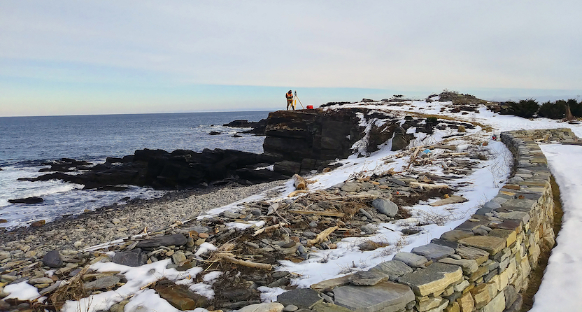
There is another aspect of the surveying profession that is well worth sharing. Unless you were the first human being to set foot on a piece of land, raw and untouched, it’s not just land that you are looking at. There is history. There is likely not a square inch of New England that has not been measured, bought, sold, worked on, or dreamed upon. The piled rock walls that crisscross our region bear witness to this. In surveying, history is not just an academic endeavor, it is intensely practical and informational. Because what is there has been shaped before, measured before, the records of our forebearers are the second starting place for the surveyor today.
So, the surveyor, while being an incredible technician, is also part historian and part detective. When we start with a parcel of land to work with, we have to go back to the records to see where they say the land lies. In New England, this can mean going back hundreds of years to when the shape and ownership of the land were first recorded. This provides clues and pieces of the puzzles that determine what we have to work with. While the principle of reference points is the same, the choices they had to work with were much different than today. It is common to find deed records that say things to the effect of, “From the white rock by the birch tree, the property goes 10 rods toward the old Smith farm (a rod being 16.5′).” Now the birch tree and the Smiths are likely gone. So, the surveyor looks for the white rocks, the stump of the birch tree and records that indicate where the Smiths lived. They start putting the picture together.
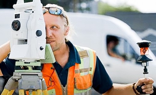
There is a constant back and forth between the shape of things, the records of what we have done, and what we want to do. It is neat to think that we are not only shaping things together today, we are reshaping things of those who have come before us. It all starts and ends with the humble surveyor.
Shaping Together with Sebago Technics
At Sebago Technics, the way we work together across disciplines is key to our success and your ability to realize your vision. As an engineering collective, the individual roles of surveying, civil/transportation engineering, landscape architecture, environmental science, land planning, and construction inspection are bound together in a familiar collaboration. This requires respect for the unique role each one plays, appreciation of the skills and input of each, and the experience of working together to bring the best out of everyone, from our team to the clients. Its collective value can’t be understated. The results speak for themselves, they are born out of deep respect for the people and the process; it’s what we believe that creates success from vision to reality, conception to completion. #ShapingTogether

